RafalFett
Sr Member
And now for the big update: the sky map used by Ellie in a couple of scenes.

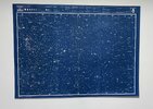
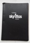
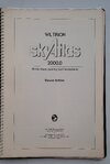
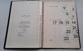
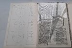
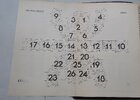
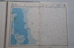
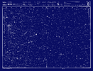
This is (as Mike J. already noticed) one of the charts from Wil Tirion's Sky Atlas 2000.0 (1st edition), most likely the deluxe version. The chart in question is number 8 made specifically for/by the movie crew. I finally managed to find (after countless of hours of search) some great scans of the charts on a Russian astronomy site (no Dark Web was used for this), but the legend was translated to russian and the title is missing. I used lots of images found on eBay and Worthpoint to recreate the chart's header with legend:
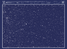
This map is huge and should print at 870 x 640 mm.
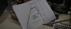
Another chart is visible in the scene where Ellie got the e-mail from Hadden (upper left corner, behind the monitor):

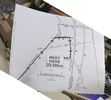
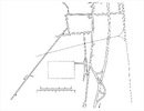
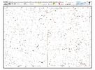
And here is chart number 7 recreated, which should print at 530x 390 mm:
And now my replicas.
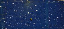
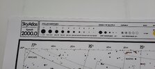
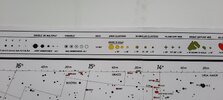
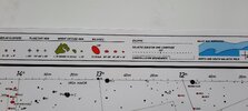
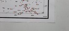
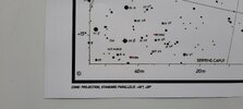
This chart (the small version, just like chart 7) was printed on 4 sheets of A4 plain paper, then glued together with double sided adhesive tape:
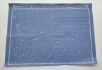
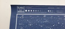
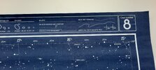
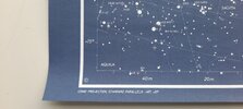
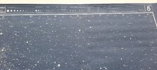
Made another one printed on 2 semi-glossy A3 paper:
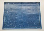
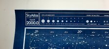
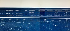
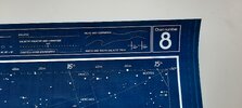
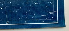
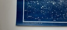
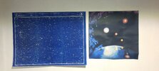
And here's a comparison of the 2 versions printed on the semi-glossy paper (normal and scaled up):
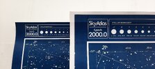
The scaled up version was printed on 6 sheets of A3 paper, but I'll have to glue them together.
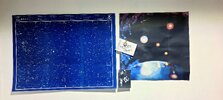
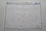
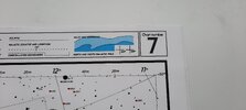
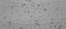
And finally chart number 7 printed also on 2 semi-glossy A3 paper:

This is (as Mike J. already noticed) one of the charts from Wil Tirion's Sky Atlas 2000.0 (1st edition), most likely the deluxe version. The chart in question is number 8 made specifically for/by the movie crew. I finally managed to find (after countless of hours of search) some great scans of the charts on a Russian astronomy site (no Dark Web was used for this), but the legend was translated to russian and the title is missing. I used lots of images found on eBay and Worthpoint to recreate the chart's header with legend:

This map is huge and should print at 870 x 640 mm.
Another chart is visible in the scene where Ellie got the e-mail from Hadden (upper left corner, behind the monitor):

And here is chart number 7 recreated, which should print at 530x 390 mm:

And now my replicas.
This chart (the small version, just like chart 7) was printed on 4 sheets of A4 plain paper, then glued together with double sided adhesive tape:


Made another one printed on 2 semi-glossy A3 paper:


And here's a comparison of the 2 versions printed on the semi-glossy paper (normal and scaled up):

The scaled up version was printed on 6 sheets of A3 paper, but I'll have to glue them together.
And finally chart number 7 printed also on 2 semi-glossy A3 paper:


Last edited:

